
PHOENIX — The Bureau of Land Management’s Lower Sonoran Field Office finalized a management plan that designated a travel route system on public lands south of the Phoenix metro area last week.
The Buckeye Hills Travel Management Plan Environmental Assessment will provide outdoor travel for motorized and non-motorized users while balancing its protection of natural and cultural resources on public lands, according to a press release.
“Public lands surround the growing Phoenix metropolitan area, which means there is an increasing demand for recreational opportunities,” Phoenix District Manager Leon Thomas said in the release. “This plan allows the BLM to balance the needs of public land users while conserving the outdoor environment that we all enjoy.”
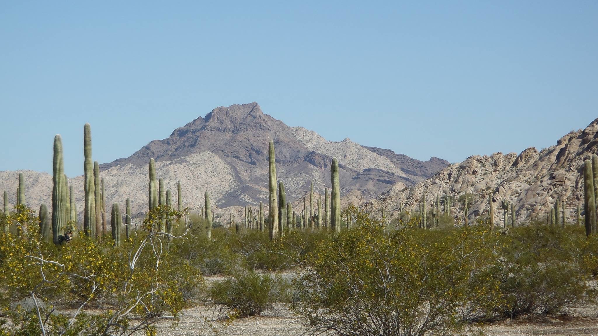
The management plan analyzed the combined 572,159-acre Buckeye Hills East and West travel management areas in Buckeye, Rainbow Valley, Hassayampa, and Palo Verde in Pinal and Maricopa counties, according to the release.
It designates a mix of motorized and non-motorized use routes, the latter of which can be used for hiking, horse-back riding, bicycling, and backpacking.
Non-designated routes of riparian areas, washes and redundant routes will be naturally reclaimed.
The BLM conducted its analysis of the area under the National Environmental Policy Act between 2016 and 2018 and used public scoping, stakeholder outreach, open houses, and public comment periods, according to the release.
Implementing the travel management plan is expected to to take several years.