

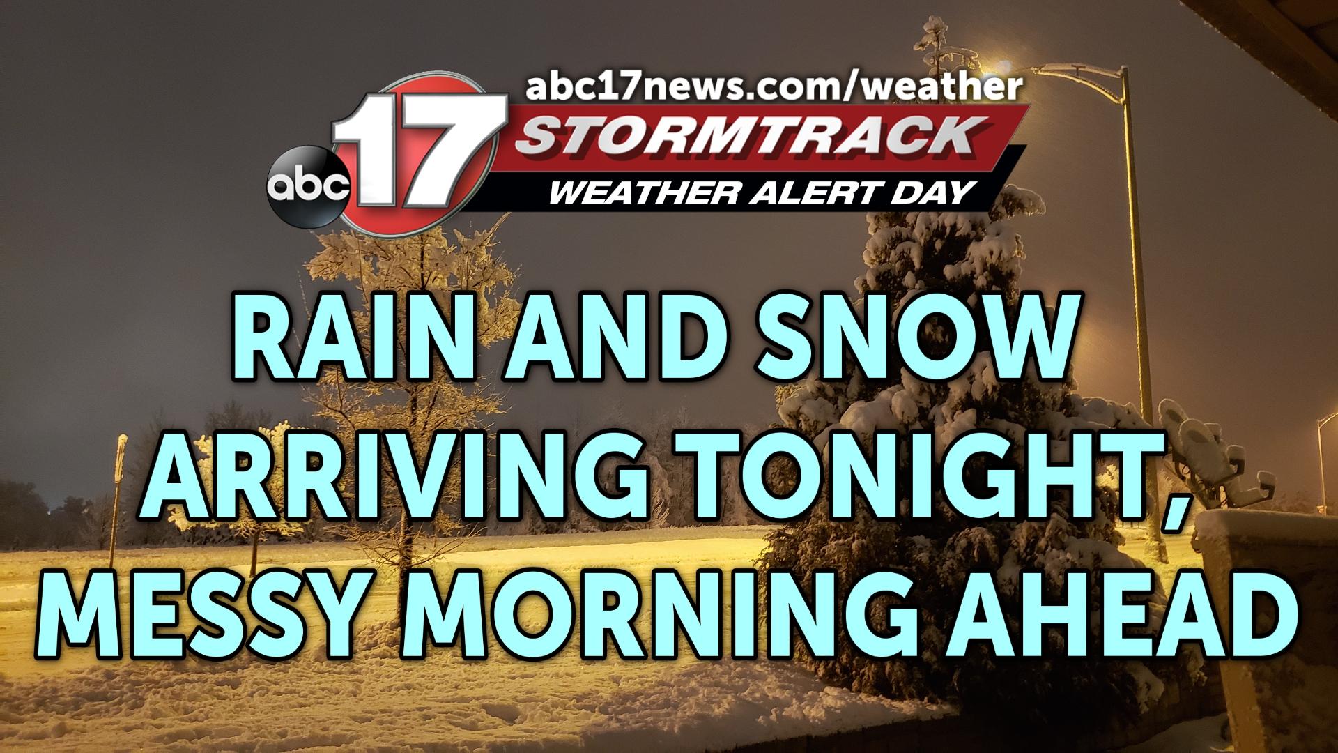
TONIGHT: Showers moving in from the south after sunset. Precipitation changes to snow late, with accumulation overnight. 2-4″ of snow is likely across most of Mid-Missouri. Lows near 32.
TOMORROW: Snow showers starting to taper off by late morning, with flurries possible throughout the day. Breezy with highs in the low to mid-30s. Roads could still be slick into the evening.
EXTENDED: A winter storm system moving into the Mid-South this evening will bring rain and snow to much of the region tonight, with precipitation shifting over to snow late in the evening. Accumulation is likely overnight, with 2-4″ by mid-morning Wednesday for much of Mid-Missouri. A few locations near the Lake of the Ozarks and I-44 may see amounts in excess of 5″. Slushy, wet snow could make roads slushy and slick through Wednesday evening, but road conditions should drastically improve by Thursday. Temperatures are chilly on Thursday as high temperatures remain near 30 degrees with gusty winds. Friday is warmer to end the week in the mid-40s. The weekend starts off somewhat mild with highs in the mid-40s Saturday ahead of another storm system that will bring a chance of rain and/or a wintry mix Saturday night into Sunday morning. This event will not be as impactful as what we’ll see the next few days, but behind it we’re tracking cooler temperatures to close out the weekend with highs in the upper 20s to around 30. A push of Arctic air keeps us colder than average into next week with morning lows in the teens starting on Monday morning.
ABC 17 News is committed to providing a forum for civil and constructive conversation.
Please keep your comments respectful and relevant. You can review our Community Guidelines by clicking here
If you would like to share a story idea, please submit it here.