
HUNTINGTON, W.Va. (WSAZ) -Still 5 days until winter and more than a week until Christmas and the good news is no big storms are in our immediate future. The mid-week rain turned out to be rather tame by December standards with a half inch of rain on average and winds very manageable in the 20 mile per hour range. Oddly this is part of the same storm that has ravaged the Deep South with tornadoes and pummeled the upper Midwest and Plains in snow. Now heading into the last full weekend before Christmas ,save for some snow showers mustering slick roads across the high country, any snow flurries that fall will be more about ambiance and less about hardship.
Tonight, skies will trend partly cloudy as the temperature chills back into the 30s. Main roads long since dried out to prevent any black ice of consequence. Friday’s skies will feature plenty of clouds amidst breaks to sun. By nightfall those clouds could produce dome flurries. In fact Friday night into Saturday morning and Saturday night into Sunday morning are both candidates for a dusting of snow in spots.
Weekend clouds will keep highs in the mid 30s with lows falling into the 20s.
Looking ahead excellent travel weather is expected Monday through Wednesday for our region with dry roads and rain-snow free weather. Southern rains through Dixie and Great Lakes snow showers will be common Monday and Tuesday.
For Monday’s Myrtle Beach bowl lots of chilled sun and a stiff breeze with highs near 50 and lows in the 30s are on tap, so Herd fans should dress for a typical November game at the Joan.
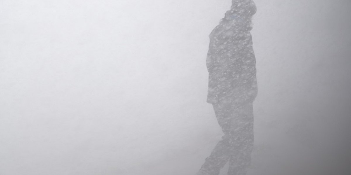
By Thursday and Friday an arctic front will arrive with rain the cold, snow and wind so prospects for a White Christmas will be followed closely!
Copyright 2022 WSAZ. All rights reserved.