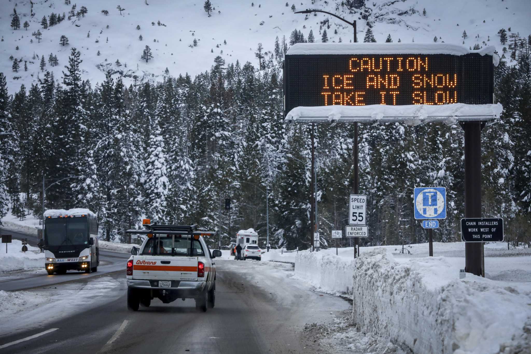
Travelers returning from the storm-battered Sierra braced for windy, white-out conditions Sunday as meteorologists warned against driving while snow crews worked to clear hard-hit mountain roads.
A winter storm warning was expected to remain in effect in the Sierra Nevada until at least 10 p.m. Monday, with the National Weather Service cautioning drivers that travel could be “very difficult to impossible” in the mountain range’s highest elevations, where up to two feet of snow could fall by day’s end. Meteorologists forecasted between three and five inches of snow for lower elevations from Yosemite to Tulare counties, with hazardous driving conditions expected to prevail throughout the holiday weekend.
The weekend’s series of storms showed signs of tapering off in the Bay Area, but not before another round of moderate rain showers was expected to blow through already waterlogged areas. Residents across the region on Sunday assessed damages from widespread flooding, wind and landslides after unrelenting rainstorms submerged roadways and felled trees — leaving at least one dead overnight.
Those returning to the region after a long weekend away should expect delays and plan for the worst, Chronicle newsroom meteorologist Michelle Apon said.
“If I had to pick, I would say Sunday is not the best day to travel,” Apon said. “Later in the day on Monday better.”
Apon encouraged even seasoned drivers to remain off Sierra roads if possible and said snowy travel is “always a gamble,” especially given current conditions. As many as five inches of snowfall were expected to accumulate Sunday in mountain areas at elevations below 3,500 feet, she said, slowing traffic on highways and making smaller roads impassible.
“Even one spin out could cause huge traffic delays,” Apon said.
Nora Mishanec is a San Francisco Chronicle staff writer. Email: nora.mishanec@sfchronicle.com


